
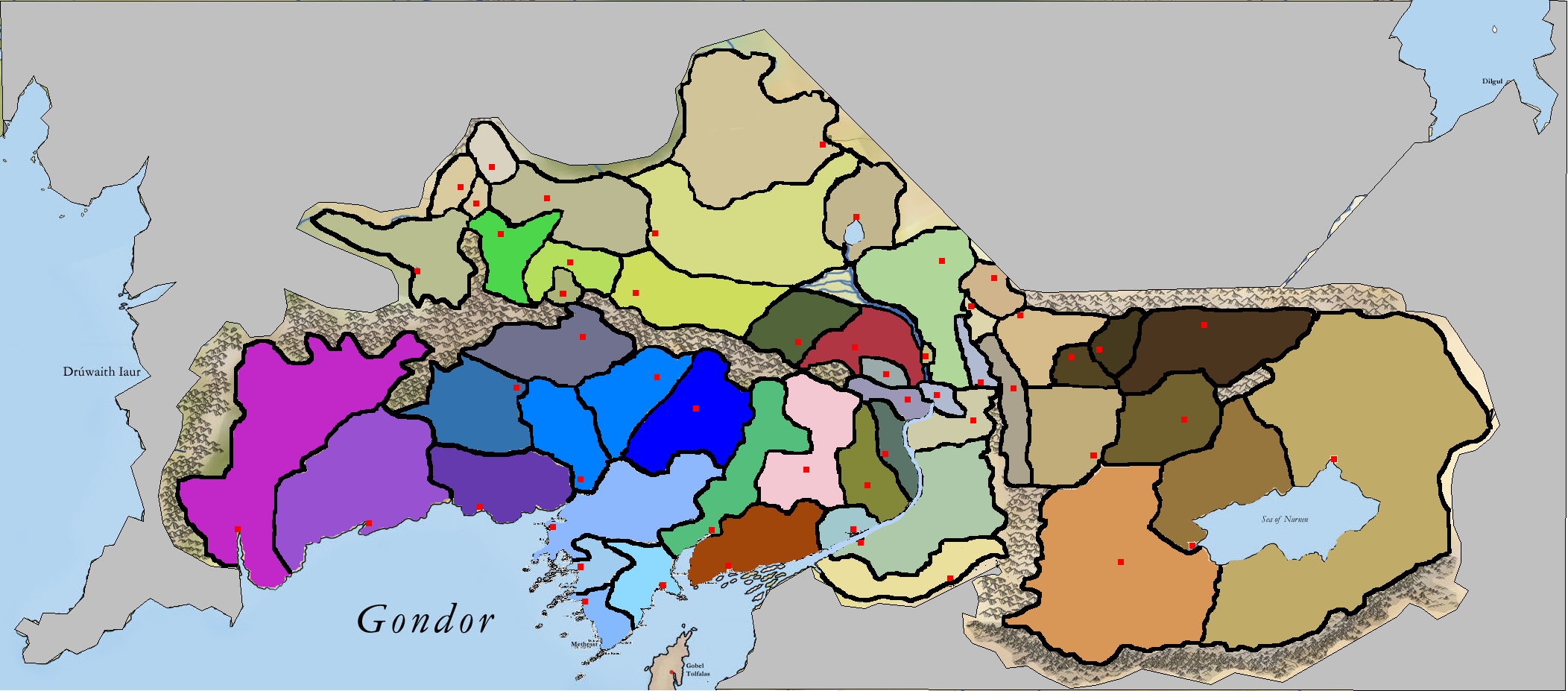
So this is version 2.0 ...Anórien, Ithilien, Lebennin, Belfalas and Nan Cúrunir

Terrain[]
grey:Urban
yellow-green: Rural
green:Woodlands
blue: marshland
light brown: valley
marroon: Hills
Ethnicity[]

We also have a labelled version of the map (each county has its number) ...Unfortunately the counties in the Minas Tirith-Minas Morgul area are too denses :(

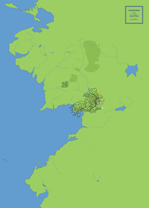
Old map[]

So this is our map
Districts labeled[]


Map with districts labelled
Political maps[]


Realms


Empires